Annonser
Views: 69
Annonser

Views: 69
Dato: 13.08.2017 Hvor: Kroktjerntunnelen Avstand: 8 km Beskrivelse Dagens tur ble til Kroktjern for å se på tunellen som ble laget i […]
Dato: 02-03.03.2018 Hvor: Finntjern i Nordmarka Avstand: 10,8 Høydemeter: 194 Beskrivelse: Fikk spørsmål for en del uker siden om jeg ville bli […]
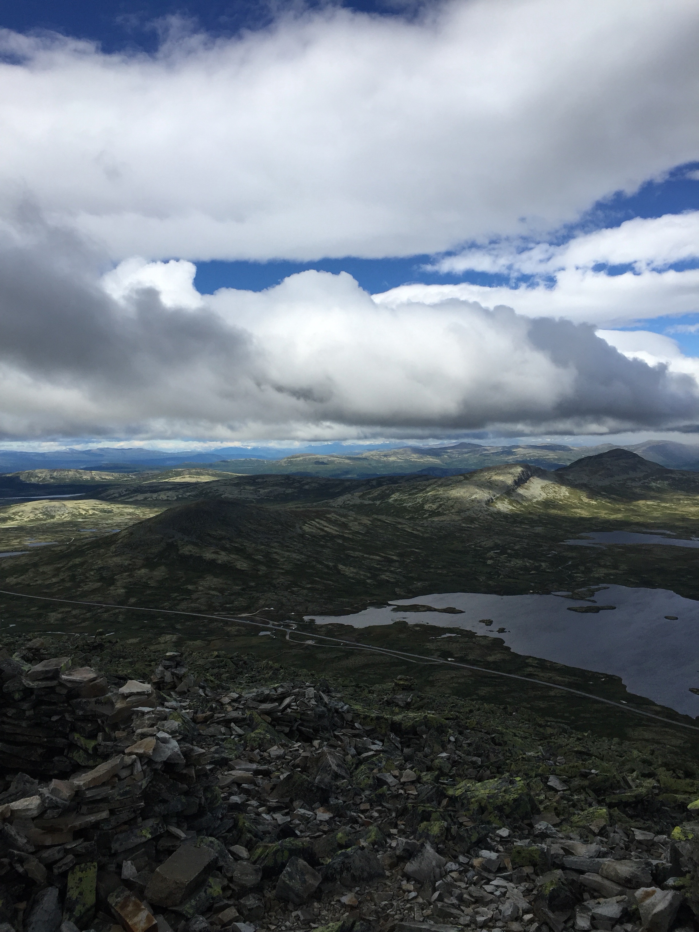
Dato: 17-23.07.2017 Hvor: Venabygdsfjellet Avstand: 32.3 km Høydemeter: 1508 Mandag 2017-07-17 Vær: 12 grader. Delvis sol, overskyet på ettermiddagen og regn Sjekket […]
I dag gikk turen igjen til Lillomarka for å bli bedre kjent. Startet fra Solemskogen og begynte i samme retning som sist, […]